LUARI (Lou) is now living out at the Agricultural Research Station (LUARS) in the grey shed in the distance. You can usually see the mountains in the background but it was quite foggy and magical that day. Quoc Anh’s software…
LUARI goes outdoors
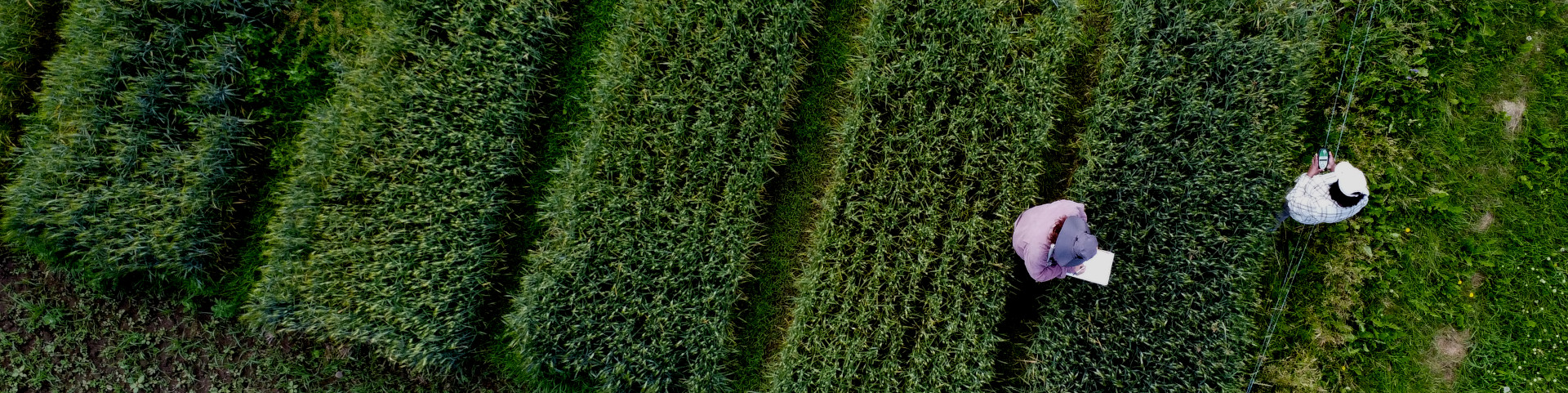
LUARI got another test outside the lab. Using a precisely surveyed point for a base station and an RTK module on the robot resulted in near perfect ability to follow a winding, curving path. LUARI was first driven with a…
First Day Out
2 big milestones today: Our robot, intended to work at the Lakehead University Agricultural Research Station, has been given the name “LUARI” for Lakehead University Agricultural Robotic Imager! LUARI was taken outside for the first autonomous mission. It worked well…